
Datoteka:Antarctica map indicating Antarctic Peninsula.JPG
Veličina ovog prikaza: 660 × 600 piksela. Ostale rezolucije: 264 × 240 piksela | 528 × 480 piksela | 845 × 768 piksela | 1.074 × 976 piksela.
Izvorna datoteka (1.074 × 976 piksela, veličina datoteke: 222 KB, MIME tip: image/jpeg)
| Ova datoteka je s Wikimedia Commonsa. Opis s njene stranice opisa datoteke prikazan je ispod. Commons je skladište slobodnih medija i datoteka za sve projekte fondacije Wikimedia. Možete i Vi pomoći. |


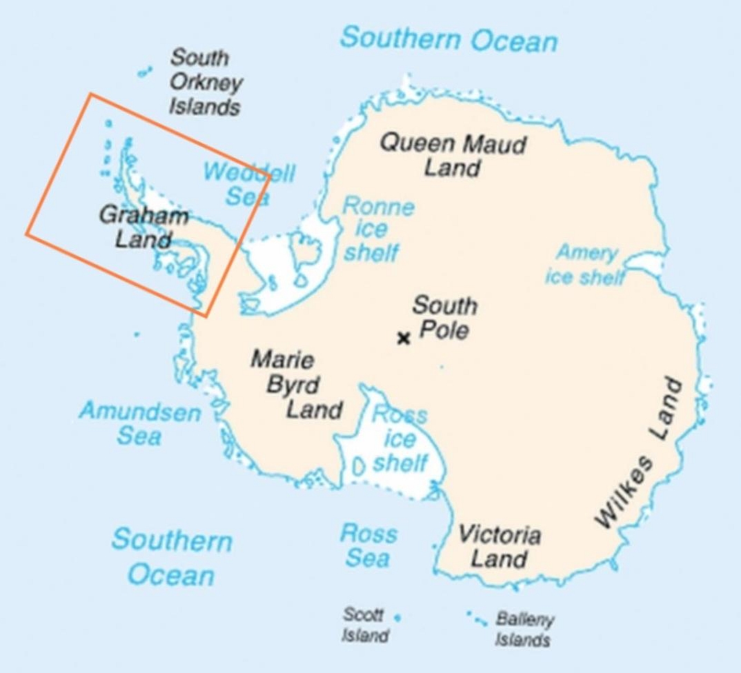
| Opis | Map of Antarctica indicating location of Antarctic Peninsula. |
| Datum | (UTC) |
| Izvor | |
| Autor |
|
| Ostale verzije | العربيَّة |
| This is a retouched picture, which means that it has been digitally altered from its original version. Modifications: Added frame indicating location of Antarctic Peninsula. The original can be viewed here: Map-antarctica-ross-ice-shelf-red-x.png:
|
This image is in the public domain because it contains materials that originally came from the United States Central Intelligence Agency's World Factbook.
|
 |
Originalni zapisnik postavljanja
This image is a derivative work of the following images:
- File:Map-antarctica-ross-ice-shelf-red-x.png licensed with PD-USGov-CIA-WF
- 2009-02-16T17:22:04Z Jeandré du Toit 316x313 (26247 Bytes) {{Information |Description=*Map of Antarctica with a red X on the Ross ice shelf. |Source=*[[:File:Antarctica_Map.png|]] |Date=2009-02-16 17:20 (UTC) |Author=*[[:File:Antarctica_Map.png|]] *derivative work: ~~~ |Permission=se
Uploaded with derivativeFX
Historija datoteke
Kliknite na datum/vrijeme da vidite verziju datoteke iz tog vremena.
| Datum/vrijeme | Smanjeni pregled | Dimenzije | Korisnik | Komentar | |
|---|---|---|---|---|---|
| trenutno | 08:30, 6 april 2009 | | 1.074 × 976 (222 KB) | Anna Frodesiak | Removed red X indicating location of Ross Ice Shelf. Sharpened image slightly. |
| 01:08, 6 april 2009 |  | 1.074 × 976 (225 KB) | Anna Frodesiak | {{Information |Description=Map of Antarctica indicating location of Antarctic Peninsula. |Source=*File:Map-antarctica-ross-ice-shelf-red-x.png |Date=2009-04-06 00:04 (UTC) |Author=*File:Map-antarctica-ross-ice-shelf-red-x.png: *[[:File:Antarct |
Upotreba datoteke
Sljedeća stranica koristi ovu datoteku:
Globalna upotreba datoteke
Sljedeći wikiji koriste ovu datoteku:
- Upotreba na af.wikipedia.org
- Upotreba na ang.wikipedia.org
- Upotreba na ar.wikipedia.org
- Upotreba na be.wikipedia.org
- Upotreba na bn.wikipedia.org
- Upotreba na da.wikipedia.org
- Upotreba na el.wikipedia.org
- Upotreba na en.wikipedia.org
- Upotreba na fi.wikipedia.org
- Upotreba na ga.wikipedia.org
- Upotreba na hi.wikipedia.org
- Upotreba na hr.wikipedia.org
- Upotreba na hu.wikipedia.org
- Upotreba na hy.wikipedia.org
- Upotreba na it.wikipedia.org
- Upotreba na ja.wikipedia.org
- Upotreba na kk.wikipedia.org
- Upotreba na ko.wikipedia.org
- Upotreba na la.wikipedia.org
- Upotreba na mk.wikipedia.org
- Upotreba na ms.wikipedia.org
- Upotreba na nn.wikipedia.org
- Upotreba na pa.wikipedia.org
- Upotreba na pnb.wikipedia.org
- Upotreba na ro.wikipedia.org
- Upotreba na ru.wikipedia.org
- Upotreba na simple.wikipedia.org
- Upotreba na sk.wikipedia.org
- Upotreba na sw.wikipedia.org
- Upotreba na ta.wikipedia.org
- Upotreba na uk.wikipedia.org
- Upotreba na ur.wikipedia.org
- Upotreba na vi.wikipedia.org
- Upotreba na war.wikipedia.org
- Upotreba na zh-yue.wikipedia.org