
Datoteka:Karte Zürichsee.png
Veličina ovog prikaza: 720 × 599 piksela. Ostale rezolucije: 288 × 240 piksela | 577 × 480 piksela | 923 × 768 piksela | 1.181 × 983 piksela.
Izvorna datoteka (1.181 × 983 piksela, veličina datoteke: 232 KB, MIME tip: image/png)
| Ova datoteka je s Wikimedia Commonsa. Opis s njene stranice opisa datoteke prikazan je ispod. Commons je skladište slobodnih medija i datoteka za sve projekte fondacije Wikimedia. Možete i Vi pomoći. |
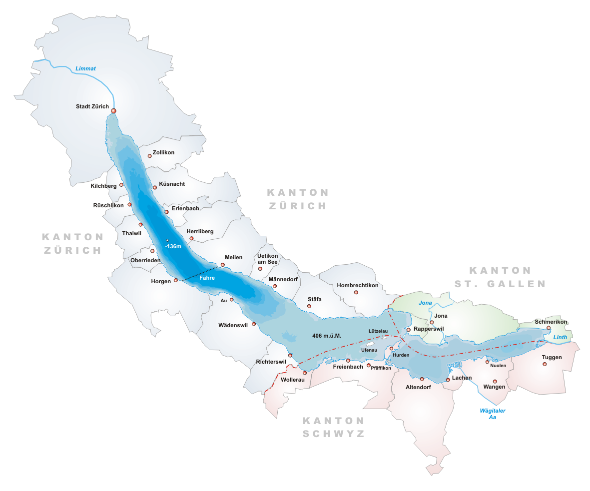
- Description: Map of Zürichsee, Switzerland
- Designer: Tschubby
- Licence:

|
Dozvoljeno je kopirati, distribuirati i/ili mijenjati ovaj članak pod uslovima navedenim u GNU licenci za slobodnu dokumentaciju, verzija 1.2 ili kasnijom verzijom izdatom od Free Software Foundation; bez nepromjenljivih dijelova, te bez sadržaja na naslovnoj i zadnjoj strani. Kopija licence se nalazi pod poglavljem GNU Free Documentation License. |
| Ova datoteka je licencirana pod Creative Commons Attribution-Share Alike 3.0 neportiranom licencom. | ||
| ||
| Ova oznaka licence je dodana na ovu datoteku kao dio GFDL ažuriranja licence. |
Historija datoteke
Kliknite na datum/vrijeme da vidite verziju datoteke iz tog vremena.
| Datum/vrijeme | Smanjeni pregled | Dimenzije | Korisnik | Komentar | |
|---|---|---|---|---|---|
| trenutno | 20:14, 22 juni 2005 | | 1.181 × 983 (232 KB) | Tschubby | *Description: Map of Zürichsee, Switzerland *Designer: Tschubby *Licence: {{GFDL}} Category:Maps of Swiss lakes |
Upotreba datoteke
Sljedeća stranica koristi ovu datoteku:
Globalna upotreba datoteke
Sljedeći wikiji koriste ovu datoteku:
- Upotreba na ar.wikipedia.org
- Upotreba na arz.wikipedia.org
- Upotreba na ast.wikipedia.org
- Upotreba na be.wikipedia.org
- Upotreba na ca.wikipedia.org
- Upotreba na ceb.wikipedia.org
- Upotreba na cs.wikipedia.org
- Upotreba na de.wikipedia.org
- Upotreba na en.wikipedia.org
- Lake Zurich
- Canton of Schwyz
- Limmat
- Linth
- Canton of Zürich
- Erlenbach, Switzerland
- Rapperswil-Jona
- Männedorf
- Meilen
- Canton of St. Gallen
- Schmerikon
- Uerikon
- Kehlhof
- Stäfa
- Uetikon am See
- Herrliberg
- Küsnacht
- Feldbach, Switzerland
- Lachen, Switzerland
- Horgen
- Thalwil
- Zürcher Verkehrsverbund
- S7 (ZVV)
- Kilchberg, Zürich
- Pfäffikon, Schwyz
- Albis
- Uetliberg
- Sihl
- Rüschlikon
- March District
- Zürichberg
- Horgen District
- Oberrieden
- Freienbach
- Altendorf, Schwyz
- Höfe District
- See-Gaster
- Richterswil
- Wädenswil
Pogledajte globalne upotrebe ove datoteke.