
Datoteka:Northlasv.jpg
Veličina ovog prikaza: 800 × 292 piksela. Ostale rezolucije: 320 × 117 piksela | 1.011 × 369 piksela.
Izvorna datoteka (1.011 × 369 piksela, veličina datoteke: 123 KB, MIME tip: image/jpeg)
| Ova datoteka je s Wikimedia Commonsa. Opis s njene stranice opisa datoteke prikazan je ispod. Commons je skladište slobodnih medija i datoteka za sve projekte fondacije Wikimedia. Možete i Vi pomoći. |
Sažetak
| Opis |
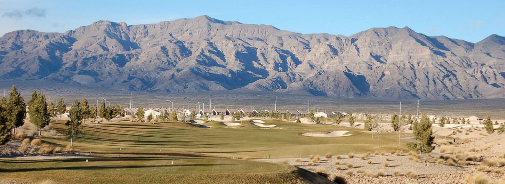
English: The southern section of the Las Vegas Range, and the Aliante Golf Club in the Las Vegas Valley — in Clark County, southern Nevada.
|
| Izvor | Vlastito djelo |
| Autor | Meridethmyers |
Licenciranje
| Ja, vlasnik autorskog prava ovog djela, objavljujem ovaj rad u javno vlasništvo. Ovo se primjenjuje u cijelom svijetu. U nekim državama ovo zakonski nije moguće; u tom slučaju: Ja dopuštam svima pravo korištenja ovog rada u bilo koju svrhu, bez ikakvih uslova, osim ako su takvi uslovi zakonski neophodni. |
Historija datoteke
Kliknite na datum/vrijeme da vidite verziju datoteke iz tog vremena.
| Datum/vrijeme | Smanjeni pregled | Dimenzije | Korisnik | Komentar | |
|---|---|---|---|---|---|
| trenutno | 00:04, 4 maj 2008 | 1.011 × 369 (123 KB) | Meridethmyers~commonswiki | {{Information |Description= |Source=self-made |Date= |Author= Meridethmyers |Permission= |other_versions= }} |
Upotreba datoteke
Sljedeća stranica koristi ovu datoteku:
Globalna upotreba datoteke
Sljedeći wikiji koriste ovu datoteku:
- Upotreba na ar.wikipedia.org
- Upotreba na arz.wikipedia.org
- Upotreba na azb.wikipedia.org
- Upotreba na be-tarask.wikipedia.org
- Upotreba na br.wikipedia.org
- Upotreba na ceb.wikipedia.org
- Upotreba na de.wikipedia.org
- Upotreba na en.wikipedia.org
- Upotreba na en.wikivoyage.org
- Upotreba na eo.wikipedia.org
- Upotreba na es.wikipedia.org
- Upotreba na fa.wikipedia.org
- Upotreba na fi.wikipedia.org
- Upotreba na fr.wikipedia.org
- Upotreba na id.wikipedia.org
- Upotreba na ja.wikipedia.org
- Upotreba na kw.wikipedia.org
- Upotreba na no.wikipedia.org
- Upotreba na pms.wikipedia.org
- Upotreba na pt.wikipedia.org
- Upotreba na ru.wikipedia.org
- Upotreba na simple.wikipedia.org
- Upotreba na sw.wikipedia.org
- Upotreba na tl.wikipedia.org
- Upotreba na tr.wikipedia.org
- Upotreba na uk.wikipedia.org
- Upotreba na uz.wikipedia.org
- Upotreba na war.wikipedia.org
- Upotreba na www.wikidata.org
- Upotreba na zh.wikipedia.org