
Datoteka:Soldier Field Chicago aerial view.jpg

Veličina ovog prikaza: 753 × 599 piksela. Ostale rezolucije: 302 × 240 piksela | 603 × 480 piksela | 965 × 768 piksela | 1.280 × 1.019 piksela | 1.500 × 1.194 piksela.
Izvorna datoteka (1.500 × 1.194 piksela, veličina datoteke: 606 KB, MIME tip: image/jpeg)
| Ova datoteka je s Wikimedia Commonsa. Opis s njene stranice opisa datoteke prikazan je ispod. Commons je skladište slobodnih medija i datoteka za sve projekte fondacije Wikimedia. Možete i Vi pomoći. |
| Opis |
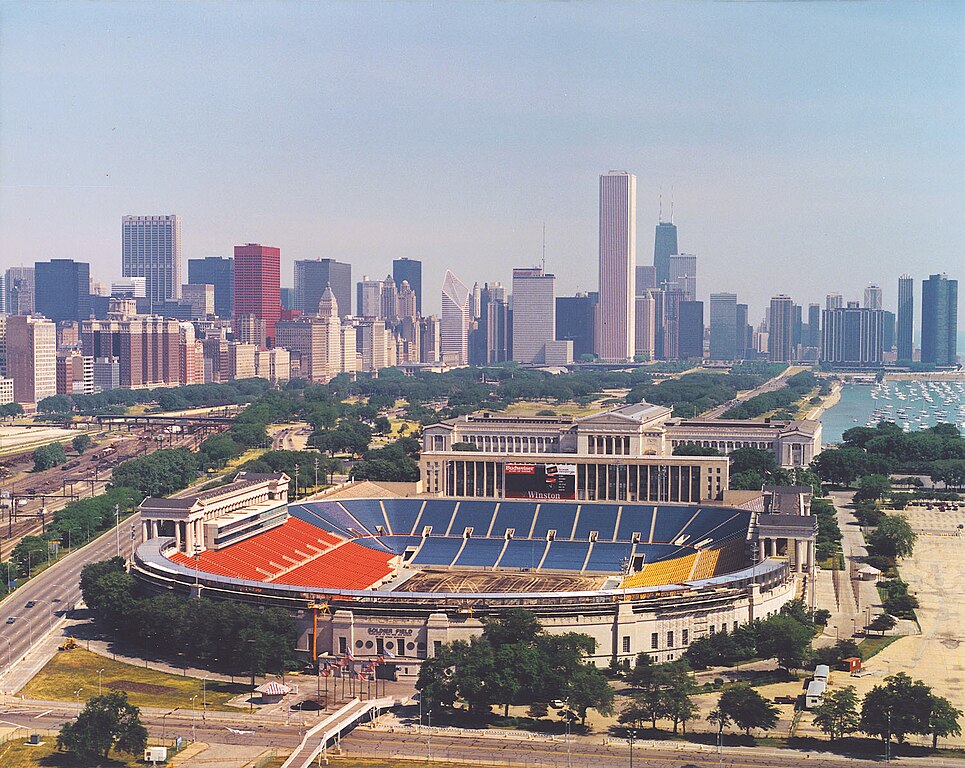
English: Aerial view of Soldier Field and the skyline of Chicago, Illinois, USA. |
|||
| Datum | ||||
| Izvor |
U.S. Army Corps of Engineers Digital Visual Library Image page Image description page Digital Visual Library home page |
|||
| Autor | Dale Fisher, U.S. Army Corps of Engineers | |||
| Dopuštenje (Naknadno korištenje ove datoteke) |
|
|||
| Ostale verzije | ||||
| Location | Chicago, Illinois, USA |
.jpg)
| Camera location | | View this and other nearby images on: OpenStreetMap |
|---|
Historija datoteke
Kliknite na datum/vrijeme da vidite verziju datoteke iz tog vremena.
| Datum/vrijeme | Smanjeni pregled | Dimenzije | Korisnik | Komentar | |
|---|---|---|---|---|---|
| trenutno | 02:26, 1 april 2007 | | 1.500 × 1.194 (606 KB) | DanMS | {{Information | Description = {{en|Aerial view of Soldier Field and the skyline of Chicago, Illinois, USA.}} | Source = U.S. Army Corps of Engineers Digital Visual Library<br />[http://images.usace.army.mil/images/Hires/LRE0016.jpg Image page]< |
Upotreba datoteke
Sljedeća stranica koristi ovu datoteku:
Globalna upotreba datoteke
Sljedeći wikiji koriste ovu datoteku:
- Upotreba na af.wikipedia.org
- Upotreba na als.wikipedia.org
- Upotreba na am.wikipedia.org
- Upotreba na ast.wikipedia.org
- Upotreba na bg.wikipedia.org
- Upotreba na ca.wikipedia.org
- Upotreba na de.wikipedia.org
- Upotreba na el.wikipedia.org
- Upotreba na en.wikipedia.org
- Upotreba na es.wikipedia.org
- Upotreba na fa.wikipedia.org
- Upotreba na fr.wikipedia.org
- Upotreba na fy.wikipedia.org
- Upotreba na he.wikipedia.org
- Upotreba na hi.wikipedia.org
- Upotreba na hu.wikipedia.org
- Upotreba na hy.wikipedia.org
- Upotreba na id.wikipedia.org
- Upotreba na it.wikipedia.org
- Upotreba na ja.wikipedia.org
- Upotreba na ka.wikipedia.org
- Upotreba na kn.wikipedia.org
- Upotreba na ko.wikipedia.org
Pogledajte globalne upotrebe ove datoteke.