
Datoteka:West ukraine.png

Veličina ovog prikaza: 564 × 599 piksela. Ostale rezolucije: 226 × 240 piksela | 452 × 480 piksela | 874 × 929 piksela.
Izvorna datoteka (874 × 929 piksela, veličina datoteke: 62 KB, MIME tip: image/png)
| Ova datoteka je s Wikimedia Commonsa. Opis s njene stranice opisa datoteke prikazan je ispod. Commons je skladište slobodnih medija i datoteka za sve projekte fondacije Wikimedia. Možete i Vi pomoći. |
Sažetak
| Opis |
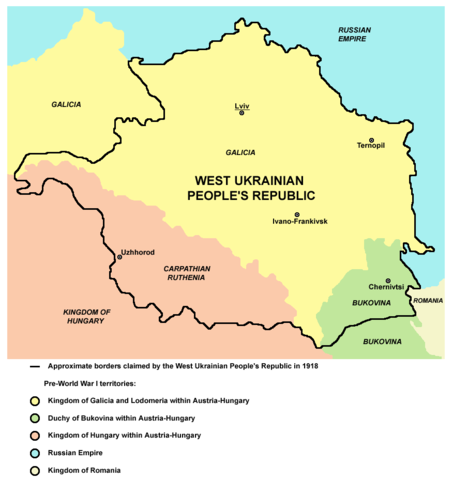
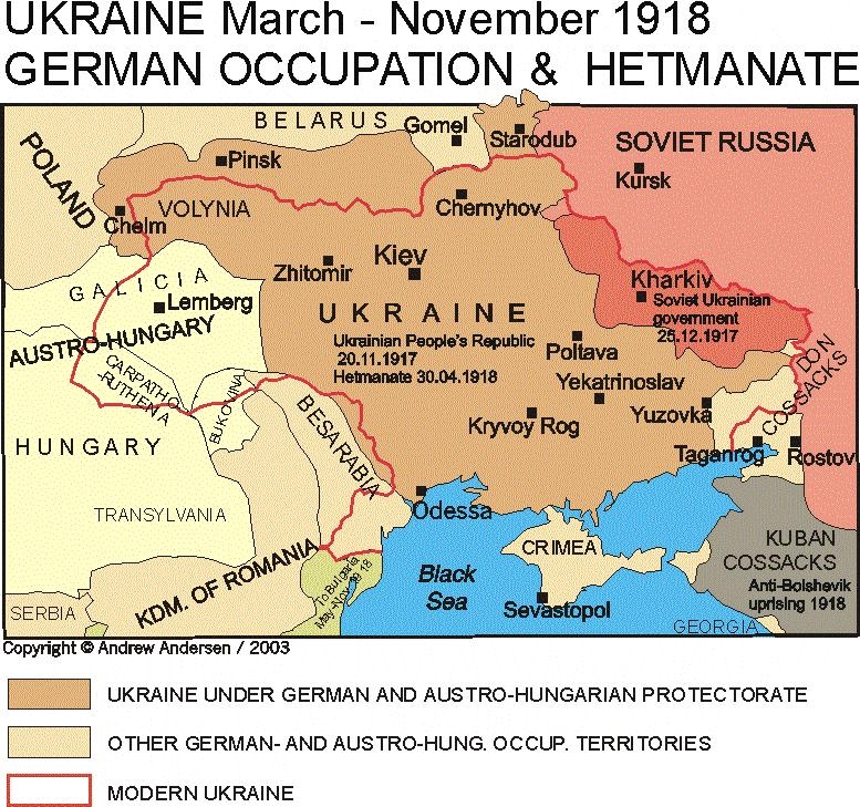
English: Map of the areas claimed by the West Ukrainian People's Republic in 1918. |
||
| Datum | |||
| Izvor | Vlastito djelo | ||
| Autor | PANONIAN | ||
| Dopuštenje (Naknadno korištenje ove datoteke) |
|

Licenciranje
| Ovaj rad je objavljen u javno vlasništvo od strane autora PANONIAN at engleski Wikipedia. Ovo se primjenjuje širom svijeta. U nekim državama ovo zakonski nije moguće; u tom slučaju: PANONIAN dopušta svima pravo korištenja ovog rada u bilo koju svrhu, bez ikakvih uslova, osim ako su takvi uslovi zakonski neophodni. |
References
Main reference:
- Borders of the areas claimed by the West Ukrainian People's Republic are made in accordance with this external source: http://www.terra.es/personal7/jqvaraderey/193818BK.GIF
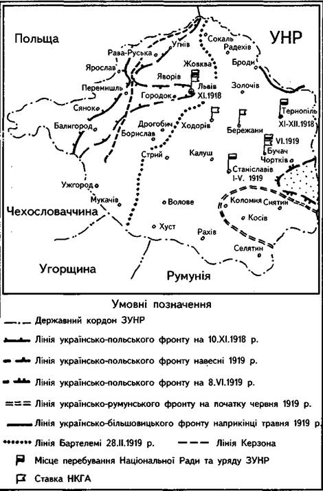
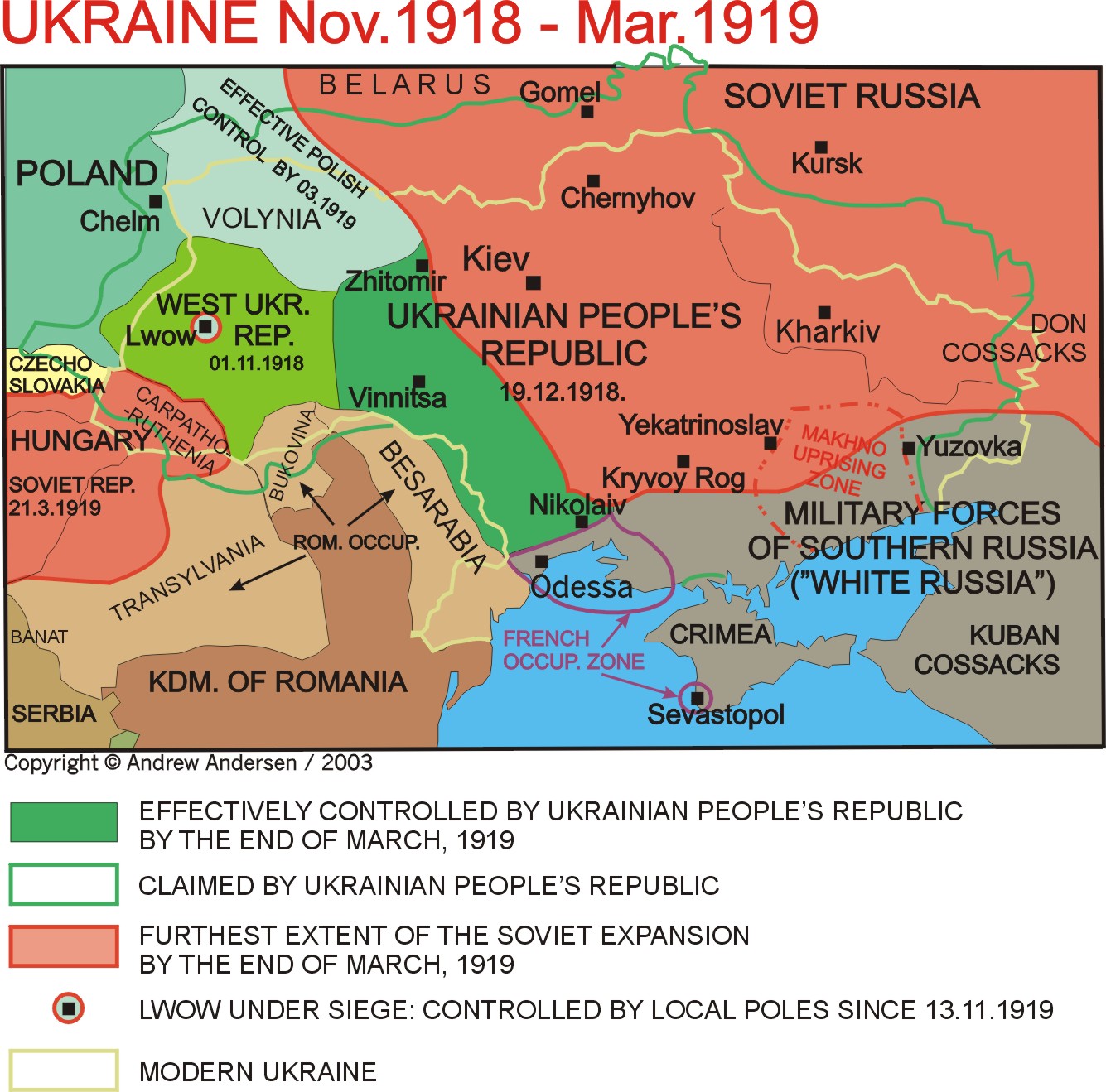
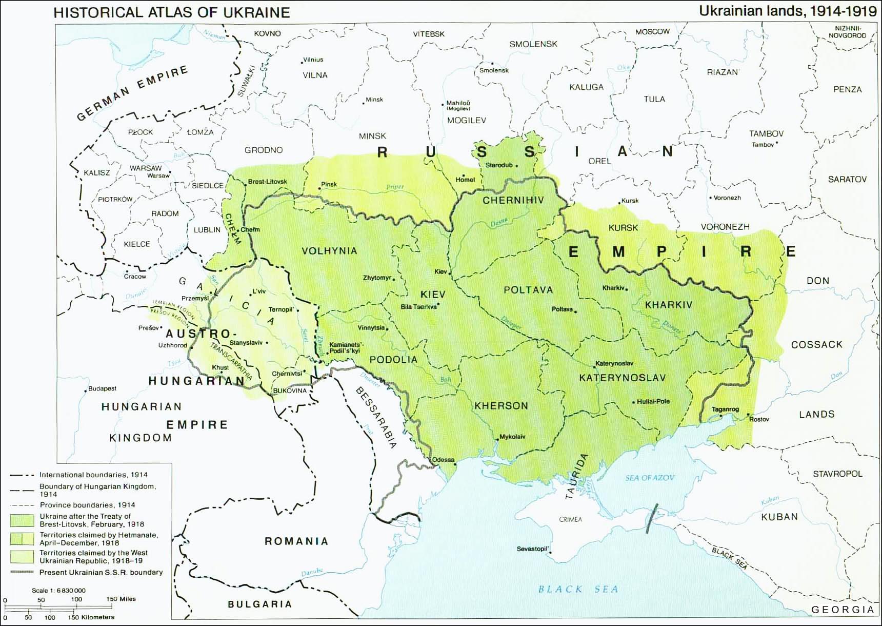
Secondary references with similar maps:
- http://mapsatlas.com.ua/images/products/urfund_zunr.png
- http://map.lviv.ua/statti/images/narysy118.jpg
- http://www.conflicts.rem33.com/images/Ukraine/UKR%201918-19.jpg
- http://www.osvitanet.com.ua/base_book/geography8/g8_1.files/image006.gif
- http://www.ukraine-in.com.ua/UploadFiles/File_09368211Jq.jpg
- http://www.aus-ugr.narod.ru/20.html
- http://www.krausehouse.ca/krause/images/1918Ukraine-1.jpg
- http://www.royaltombs.dk/ukraina/ukraina_hist1.gif
- http://ukrmap.su/program2010/uh10/uh10_1_files/clip_image035.jpg
- http://www.conflicts.rem33.com/images/Ukraine/1918_ukr.jpg
- http://1.bp.blogspot.com/-AmI6bkcf5F4/TVsBMWAaMbI/AAAAAAAAAjU/_pTqMKOCHTs/s1600/%25D0%2597%25D0%25A3%25D0%259D%25D0%25A01.jpg
- http://ukrmap.su/program2010/g9/g9_3_files/image012.jpg
- http://ukrmap.su/program2010/uh10/uh10_19_files/image010.jpg
Secondary references about pre-war borders:
- The Times History of Europe, Times Books, London, 2002.
- Školski istorijski atlas, Zavod za izdavanje udžbenika SR Srbije, Beograd, 1970.
- Istorijski atlas, Geokarta, Beograd, 1999.
- Denis Šehić - Demir Šehić, Istorijski atlas sveta, Beograd, 2007.
- Alen Dž. P. Tejlor, Habzburška monarhija, Beograd, 2001.
- http://www.uncp.edu/home/rwb/Europe_1914.jpg
- http://www.emersonkent.com/images/europe_1914.jpg
- http://www.robinsonlibrary.com/history/history/worldwar1/graphics/europe1914.gif archive copy at the Wayback Machine
- http://www.codoh.com/graphics2/europ1914hlf.jpeg
- http://www.mcs.k12.ny.us/pages/jbartalo/US%20History/1914euro.gif
- http://www.conflicts.rem33.com/images/Ukraine/UKR%201918.JPG
- http://www.e-postcards.com/2003/eu-austria-hungary01.jpg
- http://www.twschwarzer.de/austria.jpg
- http://historicaltextarchive.com/hungary/map13.gif
- http://www.philatelicdatabase.com/wp-content/uploads/2009/01/map-austro-hungarian-empire-1814-1914.jpg
- http://www.rollintl.com/roll/1914austro-hung.gif
Historija datoteke
Kliknite na datum/vrijeme da vidite verziju datoteke iz tog vremena.
| Datum/vrijeme | Smanjeni pregled | Dimenzije | Korisnik | Komentar | |
|---|---|---|---|---|---|
| trenutno | 20:41, 22 mart 2012 | | 874 × 929 (62 KB) | PANONIAN | Reverted to version as of 19:21, 21 March 2012 - please stop this, read "References" section, map is referenced |
| 17:36, 22 mart 2012 |  | 564 × 599 (94 KB) | Spiridon Ion Cepleanu | OK Pannonian, I taked off the Soviet border (1940 in Bukovina, 1945 in Galicia & Transcarpathia) and drawed only the WUPR claims of 1918-19 since Meyer's Atlas. The soviet border is generally not in concordance with the WUPR claims and included new tow... | |
| 21:21, 21 mart 2012 |  | 874 × 929 (62 KB) | PANONIAN | Reverted to version as of 16:35, 21 April 2011 - this is substantial difference, please upload your file version under different name | |
| 18:12, 21 mart 2012 |  | 564 × 599 (108 KB) | Spiridon Ion Cepleanu | Difference between 1918 claims and 1945 border, since Edgar Lehmann, Meyers Handatlas, Bibliographisches Institut Leipzig, 1927, and all actual atlases. | |
| 18:35, 21 april 2011 |  | 874 × 929 (62 KB) | PANONIAN | improved version | |
| 17:50, 29 decembar 2006 |  | 627 × 542 (58 KB) | Electionworld | {{ew|en|PANONIAN}} Map of the areas claimed by the West Ukrainian People's Republic (self made) {{PD-self}} Category:Maps of the history of Ukraine |
Upotreba datoteke
Nema stranica koje koriste ovu datoteku.
Globalna upotreba datoteke
Sljedeći wikiji koriste ovu datoteku:
- Upotreba na ar.wikipedia.org
- Upotreba na bg.wikipedia.org
- Upotreba na ca.wikipedia.org
- Upotreba na cs.wikipedia.org
- Upotreba na eo.wikipedia.org
- Upotreba na et.wikipedia.org
- Upotreba na fi.wikipedia.org
- Upotreba na hr.wikipedia.org
- Upotreba na hu.wikipedia.org
- Upotreba na it.wikipedia.org
- Upotreba na ja.wikipedia.org
- Upotreba na lt.wikipedia.org
- Upotreba na mk.wikipedia.org
- Upotreba na no.wikipedia.org
- Upotreba na pam.wikipedia.org
- Upotreba na pl.wikipedia.org
- Upotreba na pt.wikipedia.org
- Upotreba na ro.wikipedia.org
- Upotreba na rue.wikipedia.org
- Upotreba na ru.wikipedia.org
- Upotreba na sh.wikipedia.org
- Upotreba na simple.wikipedia.org
- Upotreba na sr.wikipedia.org
- Upotreba na uk.wikipedia.org
- Upotreba na vi.wikipedia.org