
Datoteka:Blankmap-ao-090S-south pole.png

Veličina ovog prikaza: 600 × 600 piksela. Ostale rezolucije: 240 × 240 piksela | 480 × 480 piksela | 726 × 726 piksela.
Izvorna datoteka (726 × 726 piksela, veličina datoteke: 9 KB, MIME tip: image/png)
| Ova datoteka je s Wikimedia Commonsa. Opis s njene stranice opisa datoteke prikazan je ispod. Commons je skladište slobodnih medija i datoteka za sve projekte fondacije Wikimedia. Možete i Vi pomoći. |

|
This locator map image could be re-created using vector graphics as an SVG file. This has several advantages; see Commons:Media for cleanup for more information. If an SVG form of this image is available, please upload it and afterwards replace this template with
{{vector version available|new image name}}.
It is recommended to name the SVG file “Blankmap-ao-090S-south pole.svg”—then the template Vector version available (or Vva) does not need the new image name parameter. |
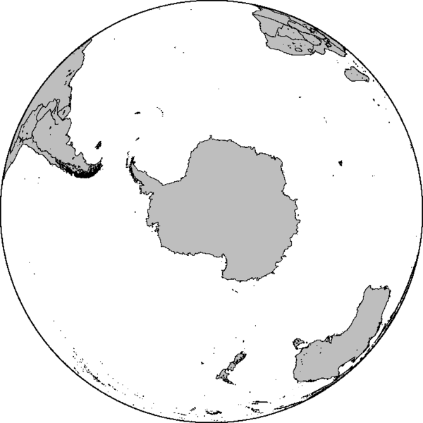
Azimuthal orthographic map projection of coords 90°S/0°.
See Image:Blankmap-ao-090S-south pole.xcf for an XCF file with separate layers for water, land, coastlines, political borders, political borders over water (not shown), and latitude & longitude gridlines (not shown).
Created by User:Reisio with GMT.
Reisio, vlasnik autorskog prava ovog djela, ovdje ga objavljujem pod sljedećom licencom:
| Ja, vlasnik autorskog prava ovog djela, objavljujem ovaj rad u javno vlasništvo. Ovo se primjenjuje u cijelom svijetu. U nekim državama ovo zakonski nije moguće; u tom slučaju: Ja dopuštam svima pravo korištenja ovog rada u bilo koju svrhu, bez ikakvih uslova, osim ako su takvi uslovi zakonski neophodni. |
Historija datoteke
Kliknite na datum/vrijeme da vidite verziju datoteke iz tog vremena.
| Datum/vrijeme | Smanjeni pregled | Dimenzije | Korisnik | Komentar | |
|---|---|---|---|---|---|
| trenutno | 08:47, 7 februar 2010 | | 726 × 726 (9 KB) | Reisio | Reverted to version as of 11:36, 13 October 2005 |
| 08:46, 7 februar 2010 | Nema smanjenog pregleda | (307 KB) | Reisio | must I really? :p | |
| 08:43, 7 februar 2010 | Nema smanjenog pregleda | (81 KB) | Reisio | must I really? :p | |
| 13:36, 13 oktobar 2005 |  | 726 × 726 (9 KB) | Reisio | Created by User:Reisio with GMT.{{pd}} |
Upotreba datoteke
Nema stranica koje koriste ovu datoteku.