
Datoteka:Carte du Conseil de l'Europe.png
Veličina ovog prikaza: 784 × 600 piksela. Ostale rezolucije: 314 × 240 piksela | 628 × 480 piksela | 1.004 × 768 piksela | 1.200 × 918 piksela.
Izvorna datoteka (1.200 × 918 piksela, veličina datoteke: 284 KB, MIME tip: image/png)
| Ova datoteka je s Wikimedia Commonsa. Opis s njene stranice opisa datoteke prikazan je ispod. Commons je skladište slobodnih medija i datoteka za sve projekte fondacije Wikimedia. Možete i Vi pomoći. |

|
File:Map of Council of Europe member states by founding and later members.svg is a vector version of this file. It should be used in place of this PNG file when not inferior.
File:Carte du Conseil de l'Europe.png → File:Map of Council of Europe member states by founding and later members.svg
For more information, see Help:SVG. |
 |
Sažetak
| Opis | |
| Datum | |
| Izvor | Own work by uploader, based on Image:Euro 2008.png |
| Autor | JLogan |
Licenciranje
Ja, vlasnik autorskog prava ovog djela, ovdje ga objavljujem pod sljedećim licencama:
Ova datoteka je licencirana pod Creative Commons Attribution-Share Alike 3.0 neportiranom licencom.
- Slobodni ste:
- da dijelite – da kopirate, distributirate i prenosite djelo
- da remiksate – da prilagodite djelo
- Pod sljedećim uslovima:
- pripisivanje – Morate pripisati odgovarajuće autorske zasluge, osigurati link ka licenci i naznačiti jesu li napravljene izmjene. To možete uraditi na bilo koji razumni način, ali ne tako da se sugerira da davalac licence odobrava Vas ili Vašu upotrebu njegovog djela.
- dijeli pod istim uslovima – Ako mijenjate, transformišete ili nadograđujete ovaj materijal, morate ga objaviti i distribuirati samo pod istom ili sličnom licencom poput ove.

|
Dozvoljeno je kopirati, distribuirati i/ili mijenjati ovaj članak pod uslovima navedenim u GNU licenci za slobodnu dokumentaciju, verzija 1.2 ili kasnijom verzijom izdatom od Free Software Foundation; bez nepromjenljivih dijelova, te bez sadržaja na naslovnoj i zadnjoj strani. Kopija licence se nalazi pod poglavljem GNU Free Documentation License. |
Možete odabrati licencu po vašem izboru.
Historija datoteke
Kliknite na datum/vrijeme da vidite verziju datoteke iz tog vremena.
| Datum/vrijeme | Smanjeni pregled | Dimenzije | Korisnik | Komentar | |
|---|---|---|---|---|---|
| trenutno | 19:50, 11 mart 2022 | | 1.200 × 918 (284 KB) | Sbb1413 | Update. |
| 15:19, 1 oktobar 2020 |  | 1.200 × 1.000 (38 KB) | Super Dromaeosaurus | Added Isle of Man, Guernsey and Jersey | |
| 06:49, 6 januar 2015 |  | 1.200 × 1.000 (52 KB) | Jurryaany | Fixed German sovereignty over Borkum. | |
| 05:52, 14 novembar 2013 |  | 1.200 × 1.000 (48 KB) | Che829 | Reverted to version as of 21:36, 19 August 2008 - Nonfactual unsupported claim as per official documents published by CoE (Founders are only the 10 original signatories of w:Treaty of London (1949) on 5 May 1949 at St. James's Palace in London http... | |
| 23:27, 13 februar 2009 |  | 1.200 × 1.000 (43 KB) | Emturan | Greece and Turkey are striped to show their founder member status while they joined to Council of Europe later. | |
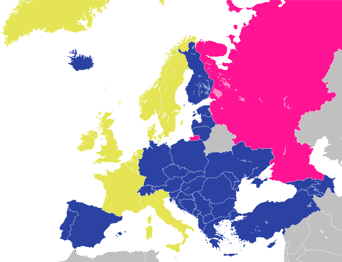
| 23:36, 19 august 2008 |  | 1.200 × 1.000 (48 KB) | JLogan | {{Information |Description={{en|1=Map of the Council of Europe.<br />{{legend|#e4e454|Founder}}{{legend|#2b42a3|Later member}}}} {{fr|1=Carte du Conseil de l'Europe.<br />{{legend|#e4e454|Fondateurs}}{{legend|#2b42a3|Autres}}}} | |
Upotreba datoteke
Nema stranica koje koriste ovu datoteku.
Globalna upotreba datoteke
Sljedeći wikiji koriste ovu datoteku:
- Upotreba na en.wikipedia.org
- Upotreba na fr.wikipedia.org
- Upotreba na hy.wikipedia.org
- Upotreba na ja.wikipedia.org
- Upotreba na ru.wikipedia.org