
Datoteka:NUTS 3 regions of central and southern Scotland map.svg

Veličina ovog PNG pregleda za ovu SVG datoteku: 418 × 401 piksela. Ostale rezolucije: 250 × 240 piksela | 500 × 480 piksela | 801 × 768 piksela | 1.067 × 1.024 piksela | 2.135 × 2.048 piksela.
Izvorna datoteka (SVG datoteka, nominalno 418 × 401 piksela, veličina datoteke: 666 KB)
| Ova datoteka je s Wikimedia Commonsa. Opis s njene stranice opisa datoteke prikazan je ispod. Commons je skladište slobodnih medija i datoteka za sve projekte fondacije Wikimedia. Možete i Vi pomoći. |
Sažetak
| Opis |
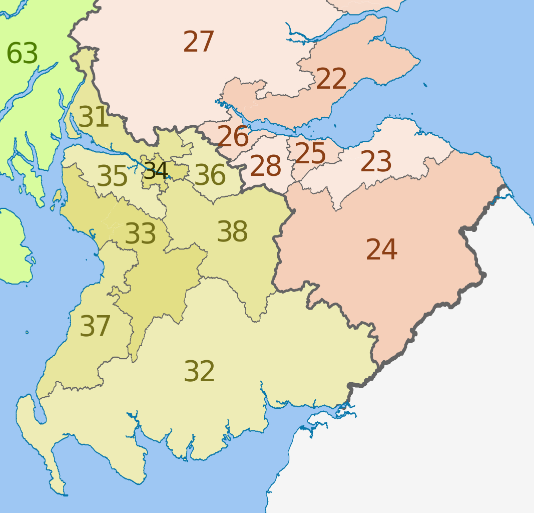
English: Map of the NUTS 3 regions of Scotland in 2011.
This is an enlargement from File:NUTS 3 regions of Scotland map.svg showing southern and central Scotland only. See that file for list of region codes. |
| Datum | (UTC) |
| Izvor |
This file was derived from: |
| Autor |
|
| Ostale verzije | File:NUTS 3 regions of Scotland map.svg shows the whole of Scotland and lists the NUTs codes |


Licenciranje
Ova datoteka je licencirana pod Creative Commons Attribution-Share Alike 3.0 neportiranom licencom.
Pripisivanje: Dr Greg, Nilfanion & XrysD. Contains Ordnance Survey data © Crown copyright and database right 2011
- Slobodni ste:
- da dijelite – da kopirate, distributirate i prenosite djelo
- da remiksate – da prilagodite djelo
- Pod sljedećim uslovima:
- pripisivanje – Morate pripisati odgovarajuće autorske zasluge, osigurati link ka licenci i naznačiti jesu li napravljene izmjene. To možete uraditi na bilo koji razumni način, ali ne tako da se sugerira da davalac licence odobrava Vas ili Vašu upotrebu njegovog djela.
- dijeli pod istim uslovima – Ako mijenjate, transformišete ili nadograđujete ovaj materijal, morate ga objaviti i distribuirati samo pod istom ili sličnom licencom poput ove.
Originalni zapisnik postavljanja
This image is a derivative work of the following images:
- File:Scottish_council_areas_2011.svg licensed with Cc-by-sa-3.0
- 2011-05-01T19:21:40Z Nilfanion 1023x1345 (3008417 Bytes) {{Information |Description=Map showing the [[w:Council areas of Scotland|Council areas of Scotland]] in 2011. Equirectangular map projection on WGS 84 datum, with N/S stretched 170% Geographic limits: *West: 8.8W *East: 0.4
- File:Scotland_Administrative_Map_1947.png licensed with Cc-by-sa-3.0-migrated, FAL, GFDL
- 2009-06-14T12:39:08Z XrysD 2000x3479 (2679270 Bytes) Corrected typo
- 2009-06-14T12:04:54Z XrysD 2000x3479 (2679081 Bytes) {{Information |Description={{en|1=Administrative map of Scotland in 1947. Showing Counties and Districts, Counties of Cities, Large and Smal Burghs}} |Source=Own work by uploader |Author=[[User:XrysD|XrysD]] |Date=2009-06-14
Uploaded with derivativeFX
Historija datoteke
Kliknite na datum/vrijeme da vidite verziju datoteke iz tog vremena.
| Datum/vrijeme | Smanjeni pregled | Dimenzije | Korisnik | Komentar | |
|---|---|---|---|---|---|
| trenutno | 15:25, 5 juni 2012 | | 418 × 401 (666 KB) | Dr Greg | == {{int:filedesc}} == {{Information |Description={{en|Map of the NUTS 3 regions of Scotland in 2011. This is an enlargement from File:NUTS 3 regions of Scotland map.svg sh... |
Upotreba datoteke
Nema stranica koje koriste ovu datoteku.
Globalna upotreba datoteke
Sljedeći wikiji koriste ovu datoteku:
- Upotreba na ar.wikipedia.org
- Upotreba na de.wikipedia.org
- Upotreba na en.wikipedia.org
- Upotreba na fi.wikipedia.org
- Upotreba na it.wikipedia.org
- Upotreba na lt.wikipedia.org
- Upotreba na ru.wikipedia.org
- Upotreba na zh.wikipedia.org