
Datoteka:Topomapcropped.jpg
Veća rezolucija nije dostupna.
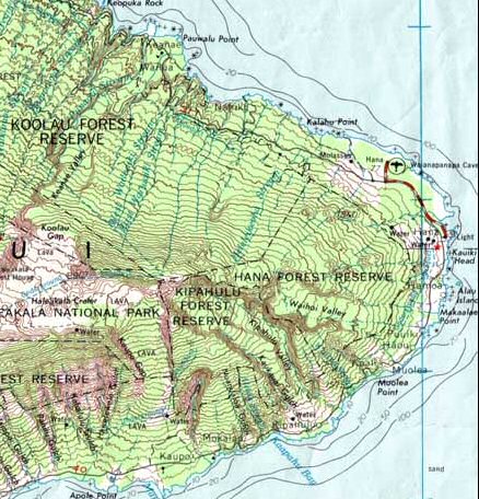
Topomapcropped.jpg (438 × 456 piksela, veličina datoteke: 79 KB, MIME tip: image/jpeg)
| Ova datoteka je s Wikimedia Commonsa. Opis s njene stranice opisa datoteke prikazan je ispod. Commons je skladište slobodnih medija i datoteka za sve projekte fondacije Wikimedia. Možete i Vi pomoći. |
Sažetak
| Opis |
English: Cropped version of Image:HaleakalaMap.jpg for use in elevation
Español: Versión recortada de Image: HaleakalaMap.jpg para usar en elevación (ubicación geográfica) |
| Datum | |
| Izvor | |
| Autor | USGS |

Licenciranje
This image is in the public domain in the United States because it only contains materials that originally came from the United States Geological Survey, an agency of the United States Department of the Interior. For more information, see the official USGS copyright policy.
|
Originalni zapisnik postavljanja
The original description page was here. All following user names refer to en.wikipedia.
- 2006-01-15 16:23 Circeus 438×456× (80921 bytes) Cropped version of [[:Image:HaleakalaMap.jpg]] for use in [[elevation]]
Historija datoteke
Kliknite na datum/vrijeme da vidite verziju datoteke iz tog vremena.
| Datum/vrijeme | Smanjeni pregled | Dimenzije | Korisnik | Komentar | |
|---|---|---|---|---|---|
| trenutno | 09:31, 7 januar 2019 | | 438 × 456 (79 KB) | Naturista2018 | User created page with UploadWizard |
Upotreba datoteke
Sljedeća stranica koristi ovu datoteku:
Globalna upotreba datoteke
Sljedeći wikiji koriste ovu datoteku:
- Upotreba na bn.wikipedia.org
- Upotreba na en.wikipedia.org
- Upotreba na es.wikipedia.org
- Upotreba na ja.wikipedia.org
- Upotreba na ro.wikipedia.org
- Upotreba na ru.wikipedia.org