
Datoteka:West Bank location map.svg

Veličina ovog PNG pregleda za ovu SVG datoteku: 520 × 599 piksela. Ostale rezolucije: 208 × 240 piksela | 417 × 480 piksela | 667 × 768 piksela | 889 × 1.024 piksela | 1.778 × 2.048 piksela | 639 × 736 piksela.
Izvorna datoteka (SVG datoteka, nominalno 639 × 736 piksela, veličina datoteke: 106 KB)
| Ova datoteka je s Wikimedia Commonsa. Opis s njene stranice opisa datoteke prikazan je ispod. Commons je skladište slobodnih medija i datoteka za sve projekte fondacije Wikimedia. Možete i Vi pomoći. |
Sažetak
| Opis |
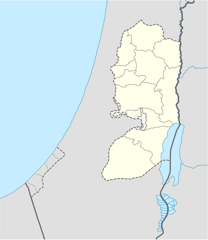
Deutsch: Positionskarte des Westjordanlandes
Quadratische Plattkarte, N-S-Streckung 115 %. Geographische Begrenzung der Karte:
English: Location map of the West Bank
Equirectangular projection, N/S stretching 115 %. Geographic limits of the map:
|
| Datum | |
| Izvor |
own work, using
|
| Autor | NordNordWest, little changes made by Obersachse |

|
This map has been made or improved in the German Kartenwerkstatt (Map Lab). You can propose maps to improve as well.
|
Licenciranje
Ja, vlasnik autorskog prava ovog djela, ovdje ga objavljujem pod sljedećim licencama:

|
Dozvoljeno je kopirati, distribuirati i/ili mijenjati ovaj članak pod uslovima navedenim u GNU licenci za slobodnu dokumentaciju, verzija 1.2 ili kasnijom verzijom izdatom od Free Software Foundation; bez nepromjenljivih dijelova, te bez sadržaja na naslovnoj i zadnjoj strani. Kopija licence se nalazi pod poglavljem GNU Free Documentation License. |
Ova datoteka je licencirana pod Creative Commons Attribution-Share Alike 3.0 neportiranom licencom.
- Slobodni ste:
- da dijelite – da kopirate, distributirate i prenosite djelo
- da remiksate – da prilagodite djelo
- Pod sljedećim uslovima:
- pripisivanje – Morate pripisati odgovarajuće autorske zasluge, osigurati link ka licenci i naznačiti jesu li napravljene izmjene. To možete uraditi na bilo koji razumni način, ali ne tako da se sugerira da davalac licence odobrava Vas ili Vašu upotrebu njegovog djela.
- dijeli pod istim uslovima – Ako mijenjate, transformišete ili nadograđujete ovaj materijal, morate ga objaviti i distribuirati samo pod istom ili sličnom licencom poput ove.
Možete odabrati licencu po vašem izboru.
Historija datoteke
Kliknite na datum/vrijeme da vidite verziju datoteke iz tog vremena.
| Datum/vrijeme | Smanjeni pregled | Dimenzije | Korisnik | Komentar | |
|---|---|---|---|---|---|
| trenutno | 19:02, 6 septembar 2010 | | 639 × 736 (106 KB) | Obersachse | == {{int:filedesc}} == {{Information |Description= {{de|Positionskarte des Westjordanlandes}} Quadratische Plattkarte, N-S-Streckung 115 %. Geographische Begrenzung der Karte: * N: 32.7° N * S: 30.9° N * W: 34.0° O * O: 35.8° O {{en|Location map of th |
Upotreba datoteke
Sljedeća stranica koristi ovu datoteku:
Globalna upotreba datoteke
Sljedeći wikiji koriste ovu datoteku:
- Upotreba na ar.wikipedia.org
- Upotreba na ba.wikipedia.org
- Upotreba na bn.wikipedia.org
- Upotreba na ceb.wikipedia.org
- Upotreba na ckb.wikipedia.org
- Upotreba na da.wikipedia.org
- Upotreba na de.wikipedia.org
- Upotreba na el.wikipedia.org
- Upotreba na en.wikipedia.org
- Bethlehem
- Cave of the Patriarchs
- Latrun
- Shechem
- Mamre
- Operation Defensive Shield
- Et-Tell
- Beitar Illit
- Ma'ale Adumim
- Ariel (Israeli settlement)
- Shiloh (biblical city)
- Gibeon (ancient city)
- Timnath-heres
- Ramathaim-Zophim
- Mount Gerizim
- Qalqilya
- Modi'in Illit
- Tubas (city)
- Jerusalem International Airport
- Cave of the Patriarchs massacre
- Jacob's Well
- Beit Sahour
- Battir
- Betar (ancient village)
- Mount Ebal
- Abu Dis
- Beth-zur
- Birzeit
- Al-Bireh
- Ofra
- Kedumim
- Eli (Israeli settlement)
Pogledajte globalne upotrebe ove datoteke.